
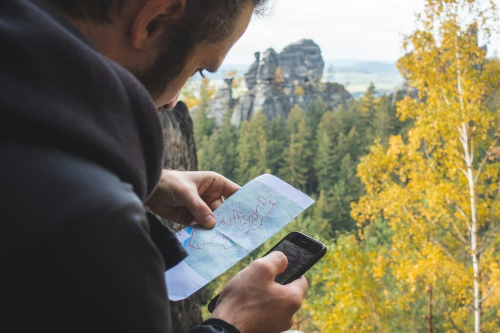
In today’s digital world, navigating the great outdoors has never been more accessible. Gone are the days of relying solely on paper maps and compasses—though these traditional tools still have their place. Modern adventurers now have a wealth of digital navigation tools at their fingertips, from sophisticated online mapping services to dedicated trail apps and GPS devices. Whether you’re planning a weekend hike, a cross-country road trip, or simply trying to find the most efficient route to a new destination, mastering these digital navigation tools can enhance your experience and keep you safe. This comprehensive guide will walk you through everything you need to know about using online maps, trail apps, and GPS systems like a seasoned explorer, combining the best of traditional navigation wisdom with cutting-edge technology.
Understanding the Digital Navigation Ecosystem

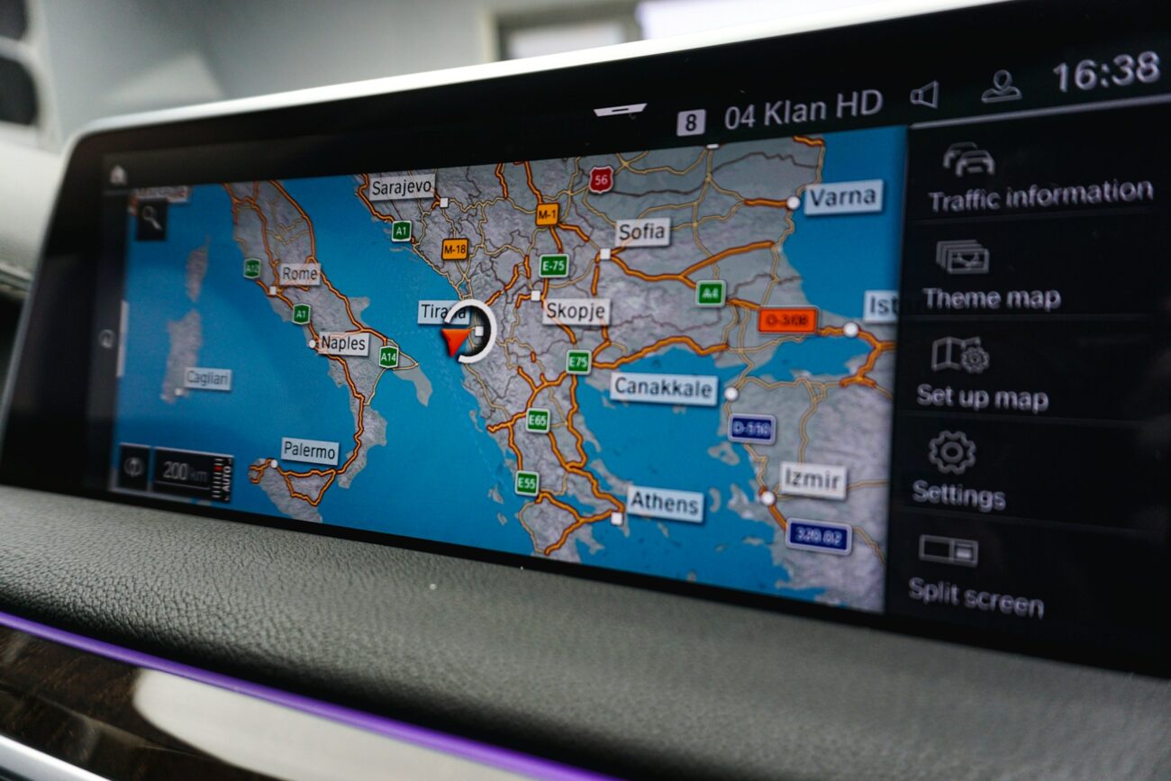
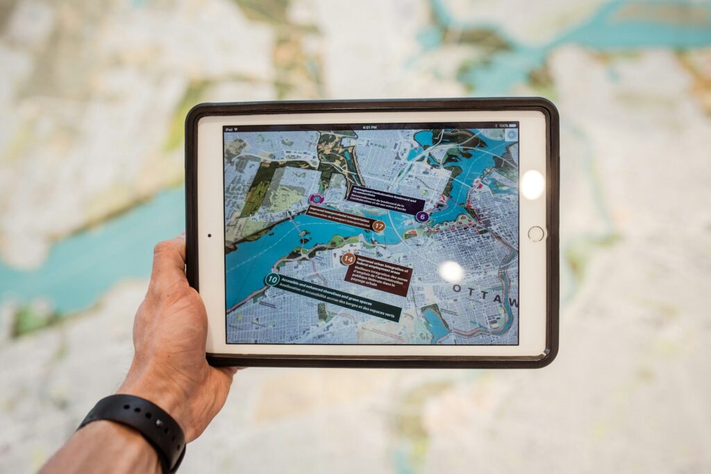
The world of digital navigation can be overwhelming at first glance, with numerous platforms and devices competing for your attention. At its core, this ecosystem consists of three main components: online mapping services (like Google Maps, Apple Maps, and OpenStreetMap), specialized trail and outdoor apps (such as AllTrails, Gaia GPS, and Komoot), and dedicated GPS devices (from brands like Garmin, Magellan, and SPOT). Each of these tools serves different purposes and excels in different scenarios. Online maps typically provide excellent coverage of roads and urban areas, while trail apps offer specialized information for outdoor recreation, and dedicated GPS devices deliver reliability in remote areas where cell service is nonexistent. Understanding the strengths and limitations of each tool is the first step toward navigating like a professional, allowing you to select the right combination of resources for your specific adventure needs.
Choosing the Right Online Mapping Service
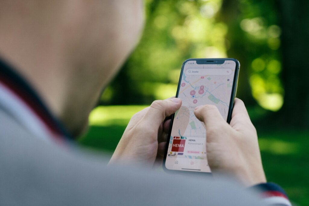
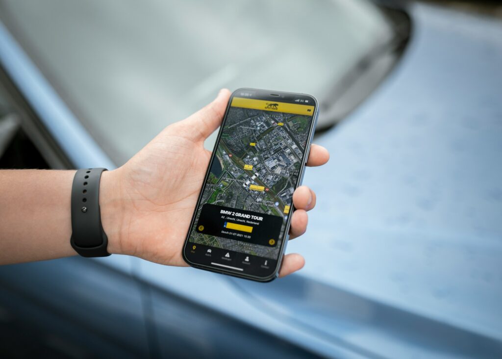
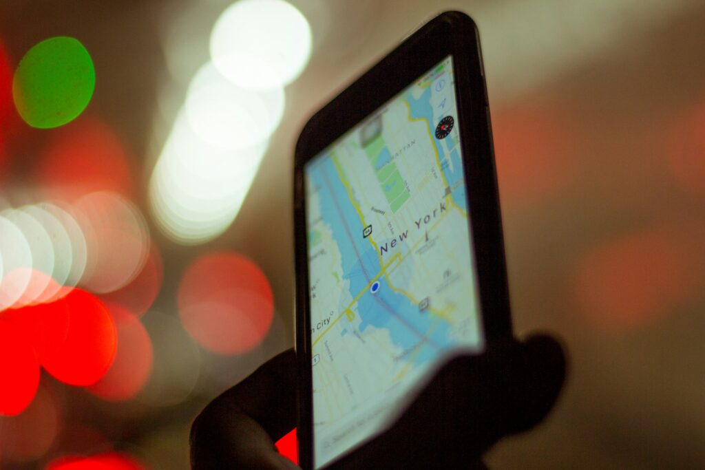
Online mapping services form the foundation of modern navigation, with several major players dominating the market. Google Maps remains the most popular option, offering comprehensive global coverage, street view capabilities, real-time traffic updates, and integration with other Google services. Apple Maps provides a seamless experience for iOS users with impressive 3D city views and privacy-focused features. OpenStreetMap stands out as a collaborative, community-driven alternative that often contains detailed information about trails and points of interest that commercial services might miss. When selecting a mapping service, consider factors such as your device ecosystem, the regions you’ll be navigating, and specific features you need like offline access or topographic information. Many experienced navigators actually use multiple mapping services, cross-referencing information between them to get the most accurate and up-to-date picture of their route.
Mastering Offline Maps for Remote Adventures

One of the most crucial skills for digital navigation is knowing how to use maps when you’re off the grid. Most major mapping services and trail apps now offer offline functionality, allowing you to download map sections before venturing into areas with poor or nonexistent cell coverage. In Google Maps, you can select “Offline maps” in the menu and download large regional maps that will work without data. Apps like Maps.me and OsmAnd specialize in comprehensive offline mapping with detailed outdoor information. When downloading offline maps, be strategic about the areas you select—download larger sections than you think you’ll need to account for detours or exploration, and remember that these downloads can consume significant storage space on your device. Always test your offline maps before heading out by putting your phone in airplane mode and ensuring the navigation still functions properly.
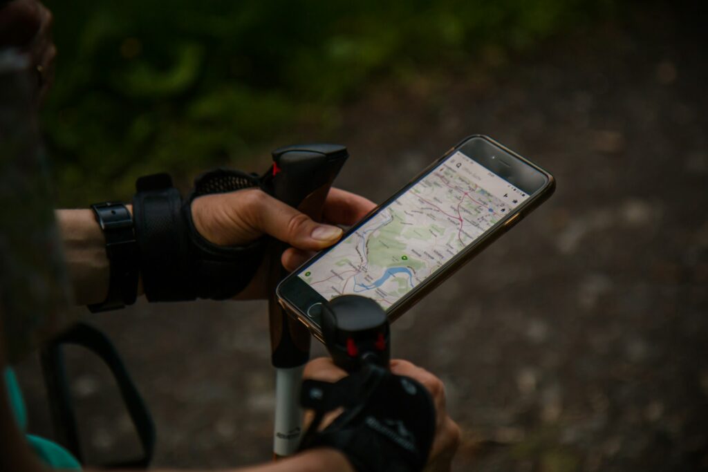
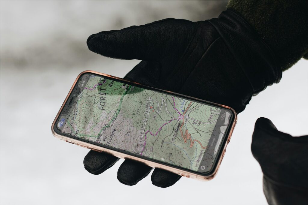
Exploring Specialized Trail and Hiking Apps
For outdoor enthusiasts, specialized trail apps provide features and information that general mapping services simply can’t match. AllTrails has become a go-to platform with its extensive database of user-reviewed trails, complete with difficulty ratings, photos, and detailed descriptions. Gaia GPS offers premium topographic maps and sophisticated route-planning tools that appeal to serious backpackers and mountaineers. Apps like Komoot excel at turn-by-turn navigation for hiking, cycling, and mountain biking with customized route suggestions based on your fitness level and preferences. When choosing a trail app, consider your primary activities, whether you need specialized features like hunting zone boundaries or mountain bike trail ratings, and the regions you’ll be exploring most frequently. Many outdoor enthusiasts subscribe to at least one premium trail app for its enhanced features while maintaining free accounts on several others as backups.
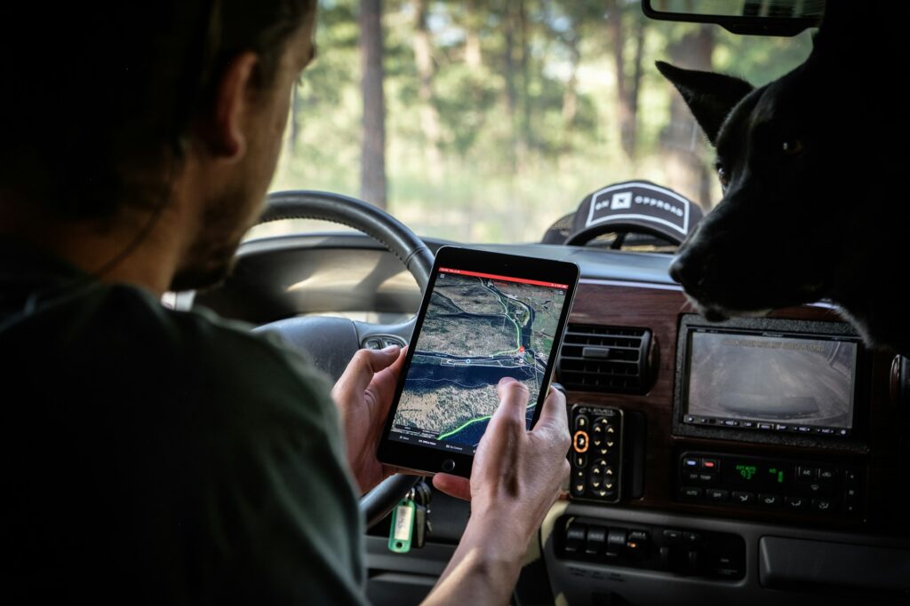
Selecting and Using Dedicated GPS Devices
While smartphones have become increasingly capable navigation tools, dedicated GPS devices still offer distinct advantages for serious adventurers. Purpose-built GPS units from companies like Garmin typically offer superior battery life, durability in harsh conditions, and reliable satellite reception in remote areas. When choosing a GPS device, consider factors like battery type (replaceable AA batteries can be advantageous on long expeditions), screen size and readability in bright sunlight, mapping capabilities, and additional features like two-way communication or SOS functionality. Many modern GPS units can pair with your smartphone via Bluetooth, allowing you to plan routes on your phone’s larger screen before transferring them to the GPS device for field use. For critical wilderness navigation, many professionals recommend carrying a dedicated GPS as a backup to smartphone apps, particularly on multi-day adventures where battery life and reliability become paramount concerns.
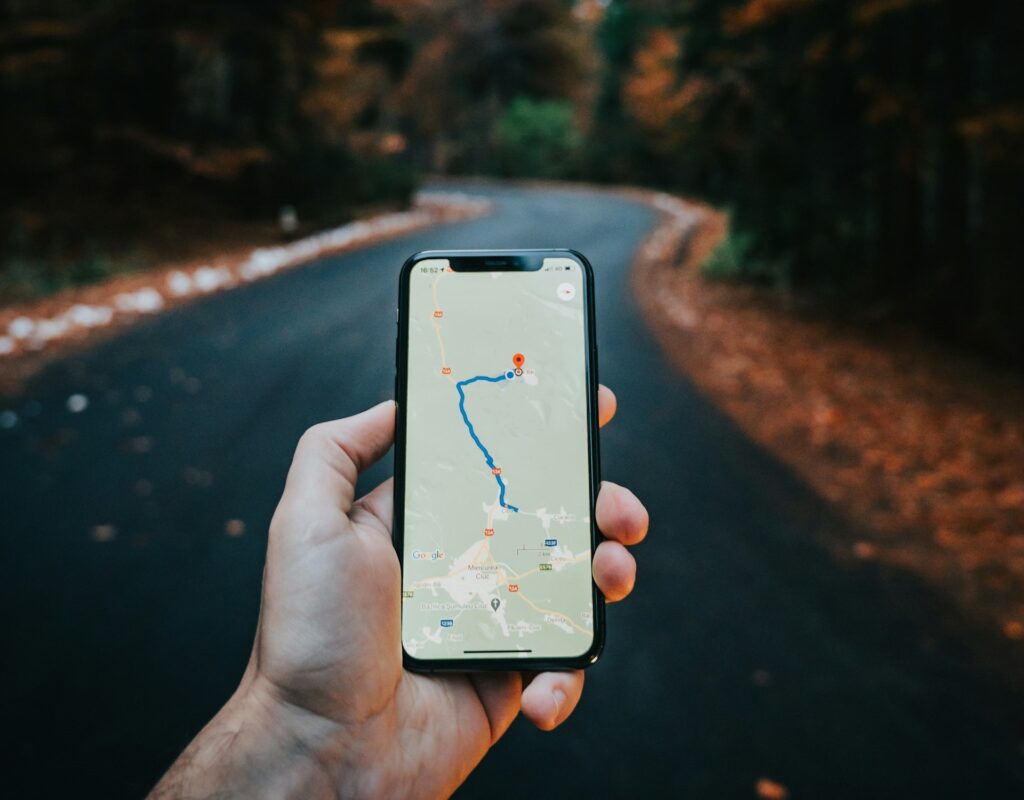
Planning Routes Like a Navigation Expert
Effective route planning is perhaps the most important skill in digital navigation, allowing you to anticipate challenges and make informed decisions before setting out. Start by examining your route on multiple platforms to get different perspectives—satellite imagery can reveal terrain features that might not be obvious on standard maps, while topographic views highlight elevation changes. Use the measuring tools available in most mapping applications to calculate distances accurately, and always factor in elevation gain when estimating travel time. Many advanced users create custom routes using platforms like Gaia GPS or CalTopo, which allow you to draw precise paths and generate detailed elevation profiles. When planning, look beyond the trail itself to identify potential hazards like river crossings, exposed ridgelines, or areas prone to avalanches or rockfalls during certain seasons. The best navigators also identify bail-out options and alternative routes in case conditions change or emergencies arise.
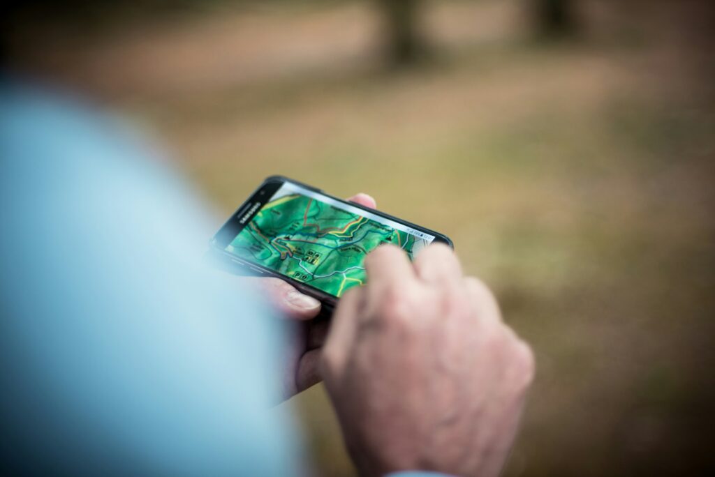
Understanding Map Layers and Data Types
Modern digital maps consist of multiple information layers that can be toggled on and off to provide different perspectives on the same terrain. Standard map views show roads, trails, and labeled features, while satellite imagery reveals the actual appearance of the landscape from above. Topographic layers display elevation contours, helping you visualize the steepness of terrain and identify features like ridges and valleys. Specialized layers might include land ownership boundaries, snow cover, recent wildfire activity, or cell phone coverage areas. Learning to interpret these different data types dramatically enhances your navigation capabilities. For example, examining contour lines can help you identify potential campsites on flat areas near water sources, while property boundary layers can prevent accidental trespassing. Advanced users often customize their map display by combining multiple layers—perhaps using a transparent topographic overlay on satellite imagery to simultaneously see both terrain shape and ground cover.
Navigating with GPS Coordinates and Waypoints
Understanding GPS coordinates opens up precision navigation capabilities that go beyond following established routes. GPS coordinates typically come in formats like decimal degrees (DD) or degrees, minutes, seconds (DMS), with most modern devices allowing you to choose your preferred format. Learning to input coordinates correctly lets you navigate to exact locations that might not appear on any trail or map. Waypoints—saved points marked on your digital map—are equally valuable for marking important locations like trail junctions, water sources, or your parked vehicle. Most navigation apps allow you to create custom waypoints with descriptive names and icons, essentially building your own personalized map layer. When navigating in challenging terrain, experienced users often create a series of waypoints along their planned route, providing a connect-the-dots path to follow even when trails are obscured by snow, darkness, or poor visibility.
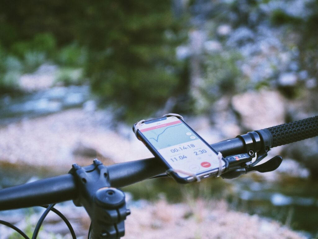
Mastering Real-Time Navigation Features
Modern navigation apps offer sophisticated real-time features that go far beyond simple location tracking. Turn-by-turn directions with voice prompts can be invaluable when navigating complex trail systems or urban environments, allowing you to keep your eyes on your surroundings rather than your screen. Track recording features document your exact path, creating a digital breadcrumb trail you can follow back if needed. Position sharing tools allow you to broadcast your location to friends or family members for safety, while weather radar overlays help you anticipate changing conditions. To use these features effectively, familiarize yourself with their operation before heading out, and be mindful of battery consumption—features like continuous GPS tracking can quickly drain your device. Many experienced navigators customize their real-time tracking settings based on the complexity of the terrain, perhaps setting location updates to occur less frequently on straightforward trails to conserve battery life.
Extending Battery Life for All-Day Adventures
Battery management is perhaps the greatest challenge when relying on digital navigation tools in the field. The most effective strategy is carrying multiple power sources, including a high-capacity power bank sized appropriately for your trip duration. To maximize device efficiency, adjust screen brightness to the minimum usable level, use airplane mode when not actively needing cell service, and close background apps that might be consuming power. Many navigation apps offer battery-saving modes that reduce GPS polling frequency and simplify map rendering. Physical protection of your devices also affects battery performance—batteries drain much faster in cold conditions, so keeping your phone and power bank close to your body in cold weather preserves their charge. For multi-day backcountry trips, consider solar charging options or specialized GPS units that can run on replaceable AA batteries, which can be more practical than recharging in remote settings.
Navigating Safely in Emergency Situations
Digital navigation tools can be lifesavers in emergency situations, but only if you’ve prepared properly and know how to use them under stress. Before any significant outing, download offline maps of your entire route plus surrounding areas, and ensure key contacts have your planned itinerary and expected return time. Many advanced navigation apps include emergency features like location sharing with precise coordinates you can relay to rescue services. Dedicated devices like satellite communicators (Garmin inReach, SPOT, Zoleo) provide emergency communication capabilities beyond cell networks, allowing you to summon help from virtually anywhere. Always maintain awareness of your exact location, with particular attention to nearby roads or settlements that could serve as evacuation routes. Perhaps most importantly, practice using your navigation tools in non-emergency situations so the interfaces and procedures become second nature, allowing you to operate them effectively even when under duress.
Integrating Traditional Navigation Skills
The most skilled digital navigators understand that technology works best when complemented by traditional navigation techniques. Learn to read the landscape around you, identifying major features like ridgelines, valleys, and water sources that should correspond to what you see on your map. Practice orientation skills by regularly checking which direction is north, both on your digital map and in the real world. Understand how to use a compass in conjunction with your digital tools, which can be essential if your device fails or if strong electromagnetic fields interfere with digital compasses. Develop the habit of “staying found” by continuously tracking your location mentally as you move through the landscape, rather than waiting until you’re uncertain to check your position. This integrated approach—combining digital precision with environmental awareness—represents the gold standard in modern navigation, providing redundancy and resilience in your wayfinding system.
Staying Updated with Navigation Technology
The digital navigation landscape evolves rapidly, with new features, apps, and devices regularly entering the market. Stay current by following outdoor technology blogs, joining online communities focused on your specific activities, and periodically reassessing your navigation toolkit. Update your apps and maps before major trips, as trail routes, access points, and conditions change frequently. Experiment with new tools in familiar environments before relying on them in critical situations. Many national parks and popular recreation areas now offer their own specialized apps with frequently updated trail conditions, closure information, and interpretive content that can enhance your experience. The most navigation-savvy outdoor enthusiasts view their systems as evolving collections rather than fixed setups, regularly incorporating new tools that address specific needs while maintaining proficiency with trusted standbys.
Conclusion

In conclusion, becoming proficient with digital navigation tools requires both technical knowledge and practical experience. By understanding the capabilities and limitations of online maps, trail apps, and GPS devices—and learning to use them in complementary ways—you can navigate with greater confidence, safety, and efficiency. Remember that the most powerful navigation system combines digital precision with traditional skills and environmental awareness. Whether you’re exploring your local trail network or venturing into remote wilderness, these digital navigation skills will enhance your outdoor experiences while helping you stay safe and found. The next time you head out, put these techniques into practice, and you’ll quickly find yourself navigating like a true professional.