
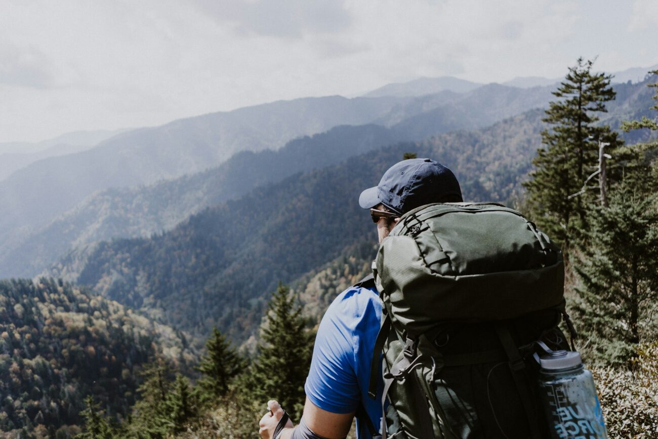
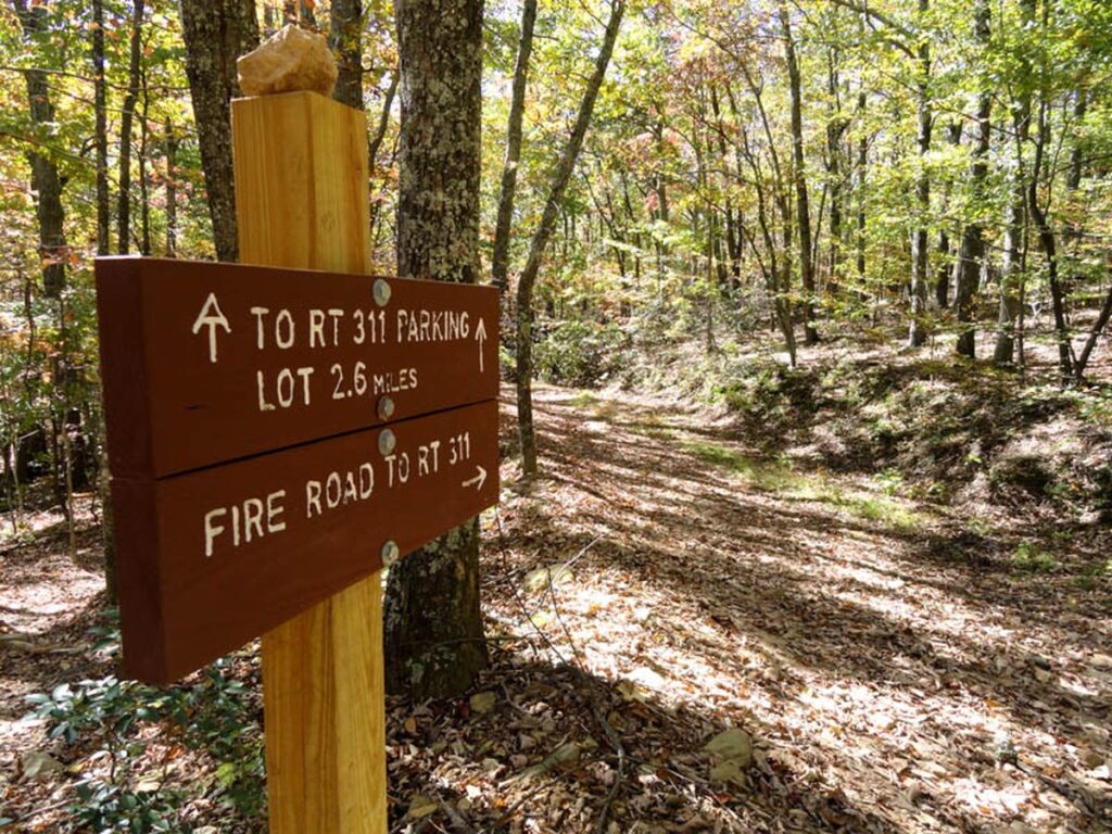
The Appalachian Trail, stretching approximately 2,190 miles from Springer Mountain in Georgia to Mount Katahdin in Maine, represents one of America’s most iconic long-distance hiking paths. This remarkable footpath winds through 14 states, traversing diverse landscapes from southern hardwood forests to New England’s rugged mountains. While thru-hikers tackle the entire trail in one ambitious journey, most outdoor enthusiasts experience the AT in sections, discovering its varied terrain and natural splendor at a more leisurely pace.
For those planning section hikes or seeking the trail’s most breathtaking experiences, certain portions stand out for their exceptional beauty, historical significance, and unique ecological features. This guide explores the most remarkable sections of the Appalachian Trail, highlighting what makes each stretch special and worthy of your hiking bucket list.
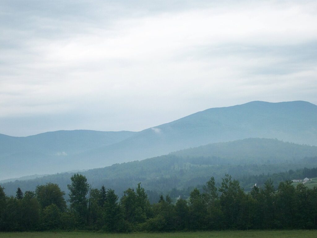
The Roan Highlands (Tennessee/North Carolina)
The Roan Highlands section of the Appalachian Trail features some of the most spectacular high-elevation meadows in the Eastern United States. Spanning the Tennessee-North Carolina border, this 20-mile stretch treats hikers to a series of treeless mountain balds offering panoramic 360-degree views that extend for miles in every direction. During mid-June, the highlands explode with the vibrant colors of the world’s largest natural rhododendron gardens, creating a purple-pink paradise that draws nature photographers from around the globe.
The relatively moderate terrain makes this section accessible to hikers of various skill levels while still providing a genuine wilderness experience with opportunities to camp under star-filled skies. Beyond the natural beauty, the Roan Highlands also host a rich diversity of rare plants and wildlife, including several species that exist nowhere else in the world.
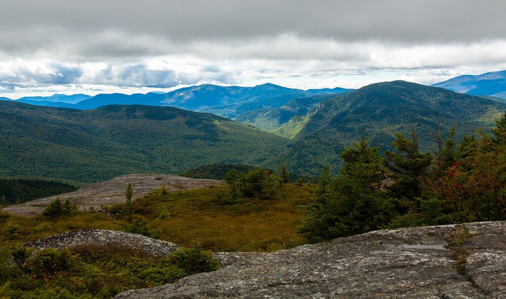
The White Mountains (New Hampshire)
New Hampshire’s White Mountains represent the most challenging yet rewarding section of the entire Appalachian Trail, with approximately 100 miles of rugged alpine terrain. This iconic stretch includes the Presidential Range, where hikers traverse exposed ridgelines above treeline, experiencing weather conditions that can change dramatically within minutes. Mount Washington, the highest peak in the Northeast at 6,288 feet, anchors this section and is infamous for recording some of the planet’s most extreme weather, including a wind speed of 231 mph in 1934.
The Appalachian Mountain Club maintains a system of eight high-mountain huts throughout this section, offering welcome shelter and hot meals to weary hikers navigating the demanding landscape. Despite the difficulty—or perhaps because of it—many AT hikers consider the Whites to be the emotional and physical pinnacle of their journey, with the raw, primal beauty of the landscape creating an almost spiritual hiking experience.
Shenandoah National Park (Virginia)
The 101-mile section through Virginia’s Shenandoah National Park offers a gentler Appalachian Trail experience without sacrificing scenic beauty. Following the crest of the Blue Ridge Mountains, this stretch is known for its well-maintained trails, relatively moderate elevation changes, and frequent wildlife encounters with the park’s abundant deer and black bear populations. The trail here parallels Skyline Drive, providing hikers with convenient access to visitor centers, campgrounds, and lodges approximately every 5-10 miles—perfect for those seeking a more comfortable hiking experience with hot showers and restaurant meals.
Spectacular viewpoints punctuate the journey through Shenandoah, with dozens of outlooks offering sweeping vistas of the Shenandoah Valley to the west and the Virginia Piedmont to the east. Fall hikers are treated to one of the most impressive autumn color displays in the eastern United States, when the park’s diverse hardwood forests transform into a kaleidoscope of red, orange, and gold.
The Hundred Mile Wilderness (Maine)
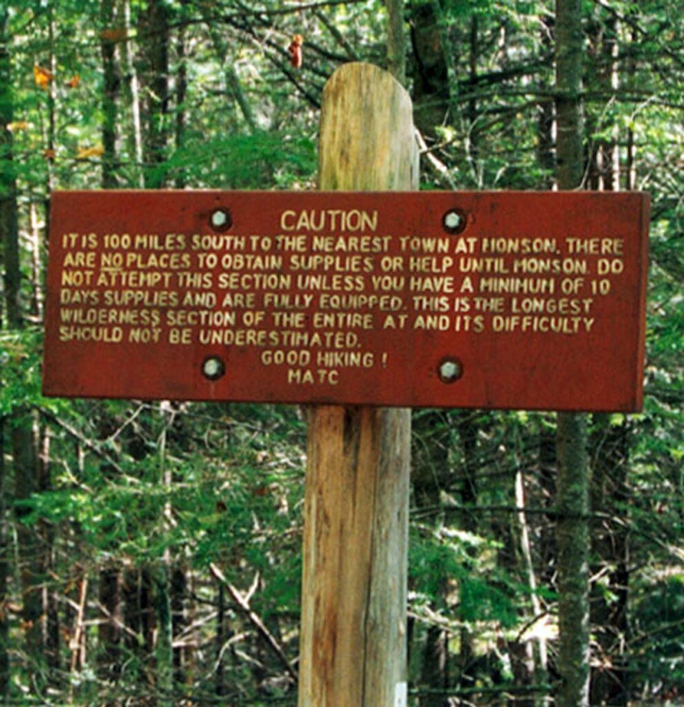
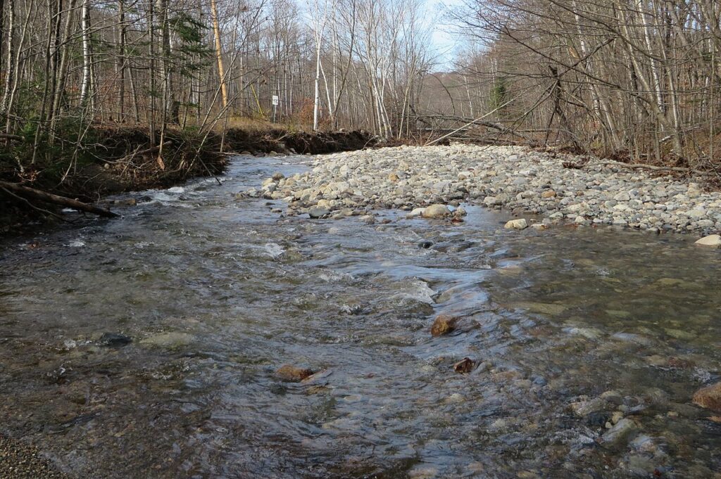
As the final significant stretch for northbound thru-hikers, Maine’s Hundred Mile Wilderness represents one of the most remote and pristine sections of the entire Appalachian Trail. This isolated corridor between the small towns of Monson and Baxter State Park contains no roads, no services, and limited cell phone coverage, offering a genuine backcountry experience increasingly rare in the eastern United States. The trail winds through ancient forests, past crystal-clear lakes, and across numerous streams requiring careful fording—all while providing glimpses of Maine’s iconic moose population.
Despite its intimidating name, the terrain is surprisingly varied, alternating between challenging mountain climbs and relatively flat stretches through boreal forests. The psychological impact of this wilderness section often proves as significant as the physical challenge, with hikers experiencing a profound connection to nature before tackling their final challenge: the climb up Mount Katahdin that marks the trail’s northern terminus.
McAfee Knob and the Triple Crown (Virginia)
Virginia’s Triple Crown comprises three of the most photographed spots on the entire Appalachian Trail: McAfee Knob, Tinker Cliffs, and Dragon’s Tooth. The centerpiece, McAfee Knob, features an iconic rock outcropping that projects dramatically over the Catawba Valley, creating the trail’s most famous photo opportunity as hikers pose on the precipice with sweeping views below. This approximately 35-mile section can be hiked as a multi-day loop, allowing outdoor enthusiasts to experience all three landmarks without needing to arrange complicated transportation.
Dragon’s Tooth presents a unique geological formation requiring some light rock scrambling, while Tinker Cliffs offers an extended ridgeline with multiple viewpoints and opportunities to spot soaring peregrine falcons. The area’s proximity to Roanoke makes it one of the more accessible premier sections of the AT, though weekend hikers should plan for crowded conditions, particularly at McAfee Knob during peak seasons.
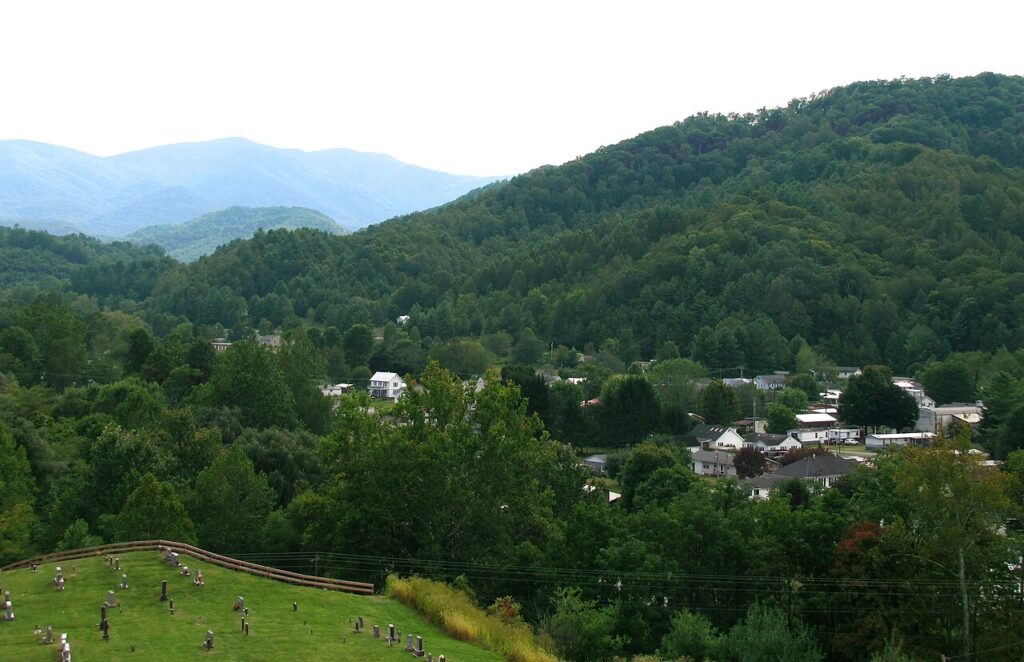
Great Smoky Mountains National Park (Tennessee/North Carolina)

The Appalachian Trail’s 71-mile journey through Great Smoky Mountains National Park represents one of the trail’s most biodiverse sections, passing through the heart of America’s most visited national park. Hikers experience dramatic elevation changes as the trail climbs to Clingmans Dome (6,643 feet), the highest point on the entire AT, where the observation tower provides spectacular panoramic views extending over 100 miles on clear days.
The region earned its name from the natural fog that often hangs over the mountains, creating a smoky blue appearance and magical hiking conditions, especially at dawn and dusk. Ecological diversity defines this section, with hikers passing through multiple forest types—from cove hardwoods to northern spruce-fir zones—and encountering more plant species than in all of northern Europe. The park’s strict regulations require advance permits and stays at designated shelters, but these minor inconveniences are more than offset by the opportunity to experience one of North America’s oldest mountain ranges and a UNESCO World Heritage Site.
Mount Rogers and Grayson Highlands (Virginia)
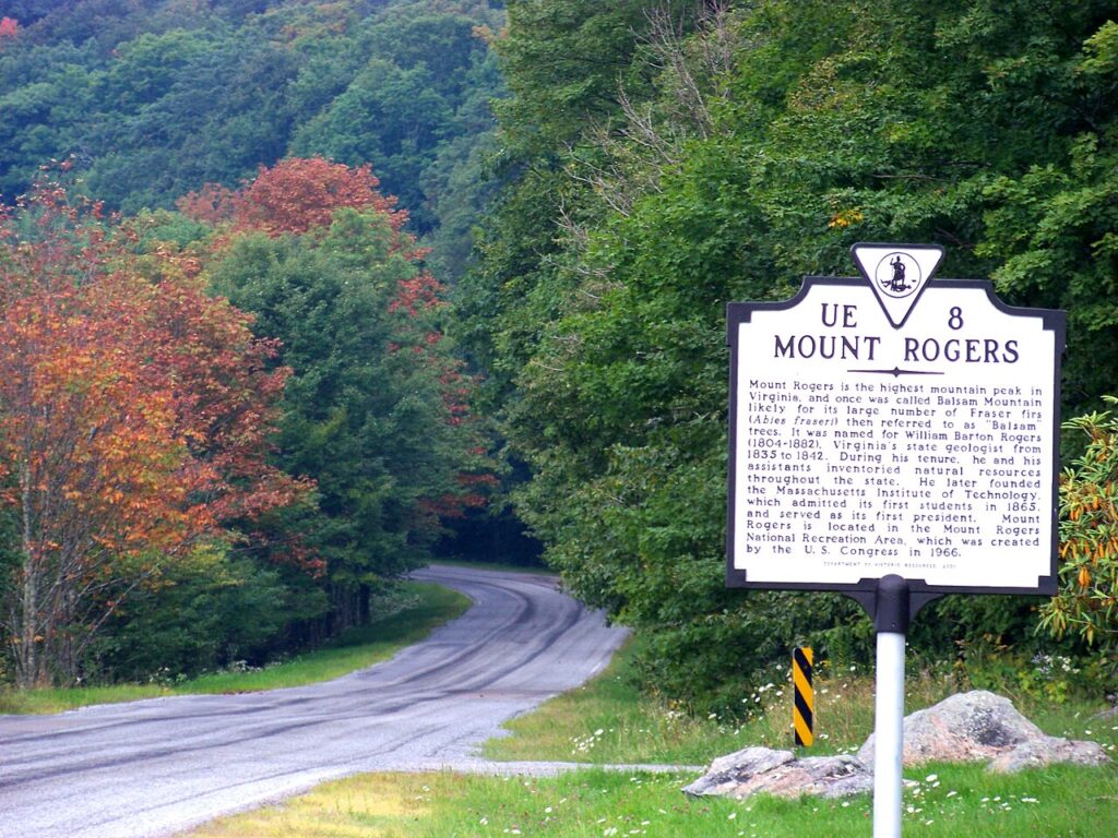
The Mount Rogers and Grayson Highlands section offers one of the Appalachian Trail’s most unique ecological experiences as hikers traverse open meadows populated by wild ponies that have roamed freely since the 1970s. These small, sturdy horses often approach hikers curiously, creating magical encounters against the backdrop of Virginia’s highest peak, Mount Rogers (5,729 feet). The trail winds through a landscape that more closely resembles Scotland or Ireland than typical Appalachian terrain, with wind-swept highland balds offering expansive views of the surrounding Blue Ridge Mountains.
Massive rock outcroppings scattered throughout the meadows provide natural playgrounds for bouldering and ideal perches for taking in the scenery. While Mount Rogers itself is covered in a rare spruce-fir forest and doesn’t offer views from its summit, the surrounding highlands more than compensate with their otherworldly beauty and relative solitude compared to other popular AT sections.
Fontana Dam to Hot Springs (North Carolina)
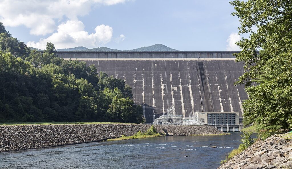
The 117-mile stretch from Fontana Dam to Hot Springs showcases some of North Carolina’s most spectacular mountain terrain while offering both challenging hiking and rewarding amenities. Beginning with a climb from Fontana Dam—at 480 feet tall, the highest dam in the Eastern United States—hikers immediately enter the Smokies before continuing north through the Pisgah National Forest. This section includes Max Patch, a beloved mountain bald offering 360-degree views that many consider the perfect picnic spot on the entire trail.
The journey concludes in the welcoming trail town of Hot Springs, where the Appalachian Trail uniquely runs directly down the main street before hikers can soak their tired muscles in natural mineral hot springs that have attracted visitors since the 1800s. The varied terrain includes both strenuous climbs and gentle ridgewalking, making it an excellent introduction to longer-distance hiking for those building up to more ambitious Appalachian Trail adventures.
Mahoosuc Range (Maine/New Hampshire)
The rugged Mahoosuc Range straddling the Maine-New Hampshire border contains what many hikers consider the single most challenging mile on the entire Appalachian Trail: the infamous Mahoosuc Notch. This boulder-filled ravine requires hikers to climb over, under, and between massive rocks, sometimes removing backpacks to squeeze through narrow passages in what amounts to a natural obstacle course that can take even experienced hikers several hours to navigate.
Beyond the notch, the range continues to challenge with steep ascents including Old Speck Mountain and Mahoosuc Arm, where hikers must use roots and rocks as natural ladders. The demanding nature of this section ensures relatively sparse crowds, allowing for a more solitary communion with nature as you traverse alpine zones with stunning views of the surrounding mountains. Despite the difficulties—or perhaps because of them—many thru-hikers look back on the Mahoosucs as one of their most memorable and satisfying trail experiences.
Glencliff to Hanover (New Hampshire)
The 45-mile section from Glencliff to Hanover offers hikers a perfect introduction to White Mountain terrain before the more extreme challenges of the Presidential Range. Beginning with a climb up Mount Moosilauke, hikers experience their first taste of alpine conditions above treeline, with the mountain’s open summit providing dramatic views that extend into Vermont and Maine on clear days. The descent from Moosilauke via the Beaver Brook Trail features one of the steepest miles on the entire AT, with wooden stairs and iron rungs assisting hikers down nearly vertical rock faces alongside a cascading waterfall.
The trail then moderates somewhat as it passes through the Kinsman Range before concluding in Hanover, home to Dartmouth College and one of the most hiker-friendly towns on the trail, where traditions include free ice cream for thru-hikers and abundant trail magic. This section perfectly balances challenging wilderness with the comfort of a welcoming trail community at journey’s end.
Harpers Ferry and the C&O Canal (West Virginia/Maryland)
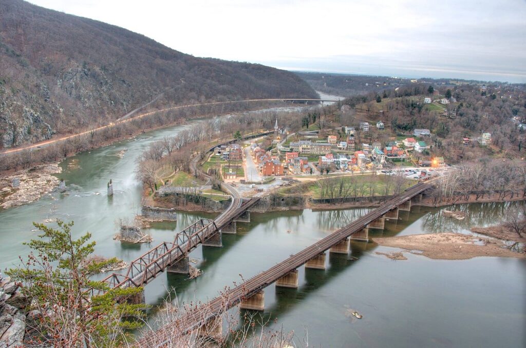
Harpers Ferry, West Virginia marks the psychological midpoint of the Appalachian Trail and houses the Appalachian Trail Conservancy headquarters, where hikers traditionally have their photographs taken for the official records. This historic section begins in the remarkably preserved 19th-century town where the Potomac and Shenandoah rivers converge, a location that played crucial roles in the Civil War and John Brown’s raid. After crossing the scenic Potomac River via a pedestrian walkway attached to a railroad bridge, the trail follows the historic C&O Canal towpath into Maryland, offering flat, easy walking alongside the canal where mules once pulled boats laden with goods.
Maryland’s 41-mile section, often called the “Maryland Challenge” because ambitious hikers attempt to complete it in a single day, includes South Mountain and the original Washington Monument, a stone tower predating its more famous counterpart in DC. The rich historical context combined with relatively moderate terrain makes this section particularly appealing to history buffs and those seeking a less physically demanding AT experience.
Mount Katahdin (Maine)

Though technically just a single mountain rather than a section, Mount Katahdin deserves special recognition as the northern terminus of the Appalachian Trail and one of the most dramatic hiking experiences in the eastern United States. Rising abruptly from the surrounding landscape to 5,269 feet, Katahdin represents the culmination of the journey for northbound thru-hikers who have walked over 2,100 miles to reach this point. The final ascent via the Hunt Trail (which is the AT) involves challenging boulder scrambling with iron rungs and handholds embedded in the rock to assist hikers through the most difficult passages.
Above treeline, the mountain opens into a remarkable alpine plateau called the Tableland before the final push to Baxter Peak, where the famous weathered wooden sign marks the trail’s end. The 360-degree views from the summit extend across Maine’s vast wilderness, with dozens of lakes reflecting the sky and no signs of human development visible in most directions—a fitting reward for completing what many consider America’s most iconic hiking trail.
Conclusion
The Appalachian Trail’s greatest gift may be its incredible diversity, offering everything from gentle woodland paths to challenging mountain ascents across its 2,190-mile journey. Each section highlighted in this guide presents its own unique character, natural beauty, and challenges, allowing hikers to select experiences that match their abilities and interests.
Whether you’re planning a day hike to McAfee Knob, a week-long adventure through the Roan Highlands, or embarking on the ultimate challenge of a complete thru-hike, the Appalachian Trail provides an unparalleled connection to America’s natural heritage and a path to personal discovery. As the saying goes among AT hikers: “It’s not the mountain we conquer, but ourselves.” The best section of the Appalachian Trail might ultimately be the one that calls most strongly to your own sense of adventure and wonder.